Switzerland-wide selection; itineraries focus on Interlaken, Grindelwald and Männlichen · HAPPY TOGETHER TRIPS
Switzerland Top 10 Scenic Hikes: Alpine Lakes, Panoramas and Vineyards
Ten editorial selections across Switzerland; the four- and seven-day examples stay in the Bernese Oberland with mountain-weather buffers. This is neither a nationwide ten-hike week nor a platform popularity ranking.
Checked 18 October 2026. Times are suggested local planning times, not reservations. Climate is not a forecast.
Activities and official booking checks
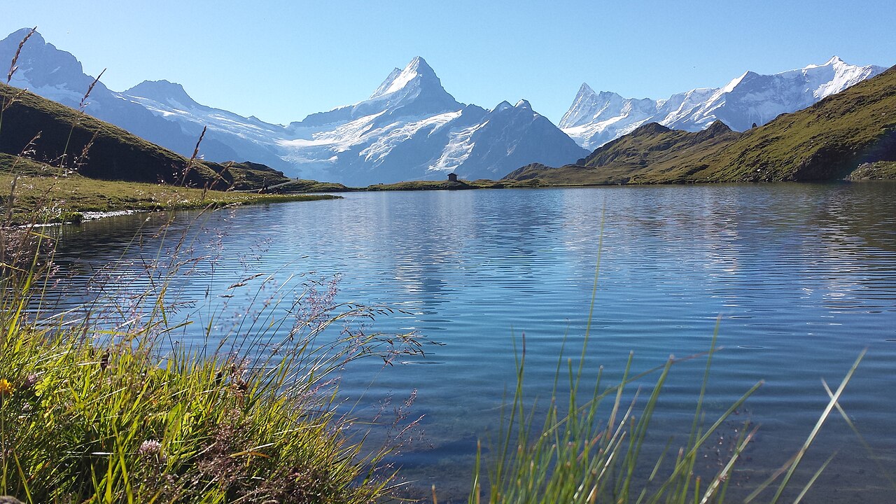
Bachalpsee
Bachalpsee lake; archival reference, not current conditions · Chnebelhäx · Photo source · CC BY-SA 4.0 Wikimedia thumbnail resize; no generative edits
Start and finish at First. Official summer map: 5.8 km return, 202 m cumulative ascent, 1 h 40 min; allow two–three hours. Easy–moderate with an initial climb. Prefer late June–September without snow. Buy Grindelwald gondola tickets separately; no separate trail admission. Never walk on lake ice; lift operation does not prove trail access.
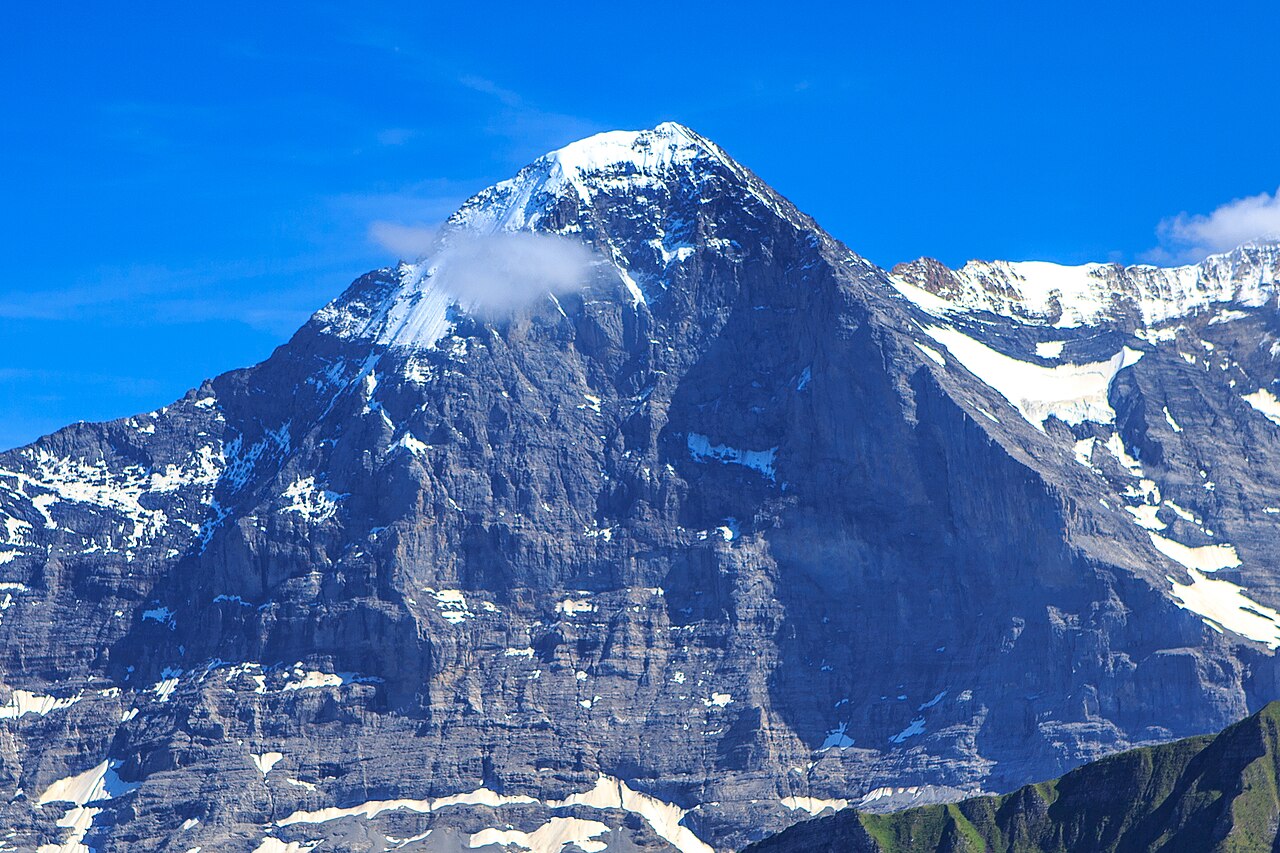
Eiger north face; mountain reference, not trail photograph; archival reference, not current conditions · Murray Foubister · Photo source · CC BY-SA 2.0 Wikimedia thumbnail resize; no generative edits
Eigergletscher to Alpiglen: 6.1 km one way, 78 m ascent and 779 m descent, around two hours; allow three with breaks. Moderate mountain hiking with sustained downhill. Prefer July–September. Rail/Eiger Express access and Alpiglen return train cost extra. This is not a north-face climb. Cancel for snow, heavy rain, rockfall warnings or closures.
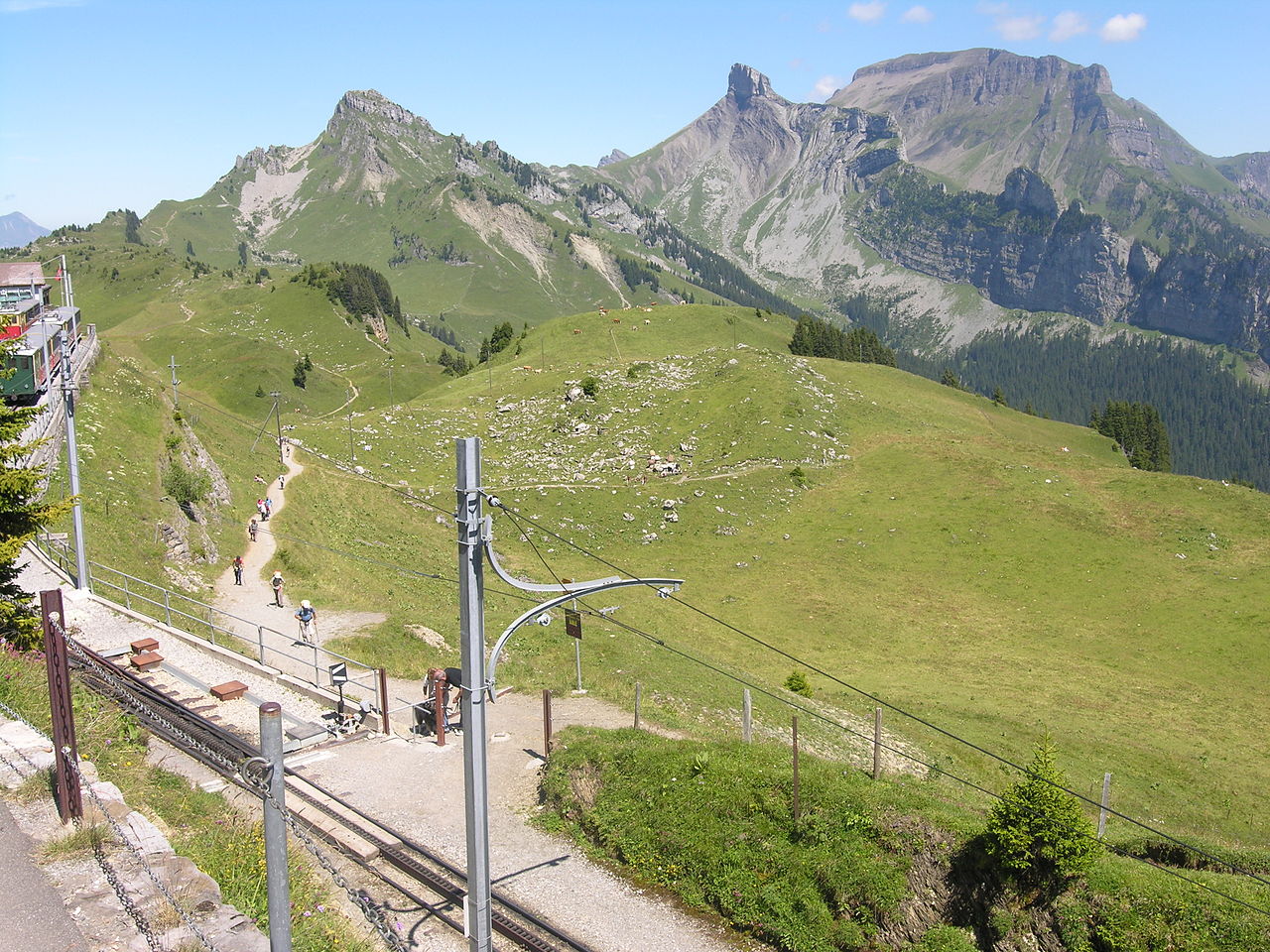
Meadows and peaks near Schynige Platte station; archival reference, not current conditions · Audrius Meskauskas (Audriusa) · Photo source · CC BY-SA 3.0 Wikimedia thumbnail resize; no generative edits
Official short loop: 3.06 km, 179 m ascent/descent, 1 h 15 min; allow two hours. Moderate with some exposed sections and steps; distinct from the 5.65 km longer circuit. Prefer late June–September. Take the paid cogwheel railway from Wilderswil and check last departures and trail conditions. Stay behind barriers.
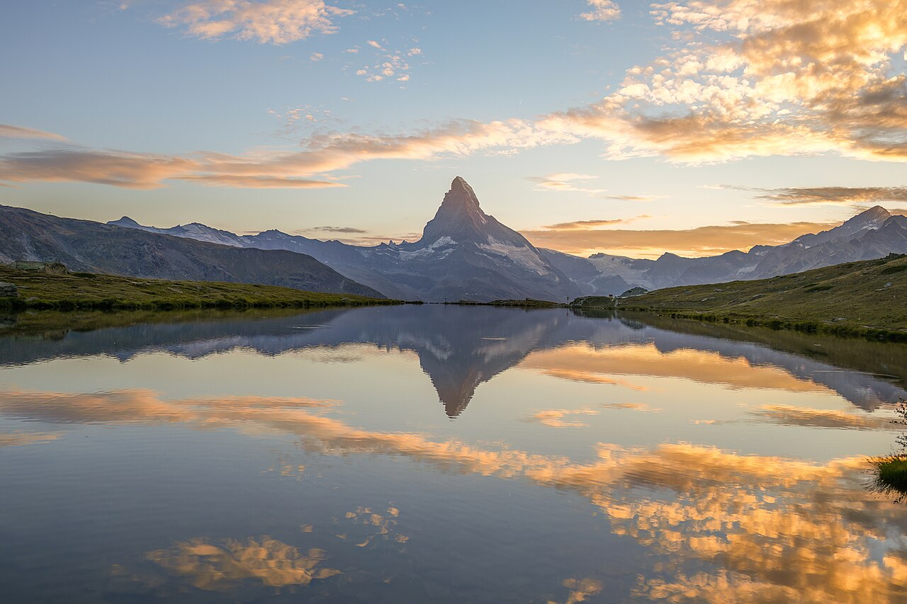
Sunset reflection at Stellisee, one of the five lakes; do not hike at night to recreate this light; archival reference, not current conditions · Giles Laurent · Photo source · CC BY-SA 4.0 Wikimedia thumbnail resize; no generative edits
Use national-tourism route 186: Blauherd to Sunnegga, around 11 km, 380 m ascent/660 m descent, 3 h 15 min; allow four–five hours. Moderate; prefer July–September. Pay separately for Zermatt mountain transport and descend from Sunnegga. Do not mix measurements with online 9.8 km variants. Keep wildlife undisturbed and use lower paths if snowy.
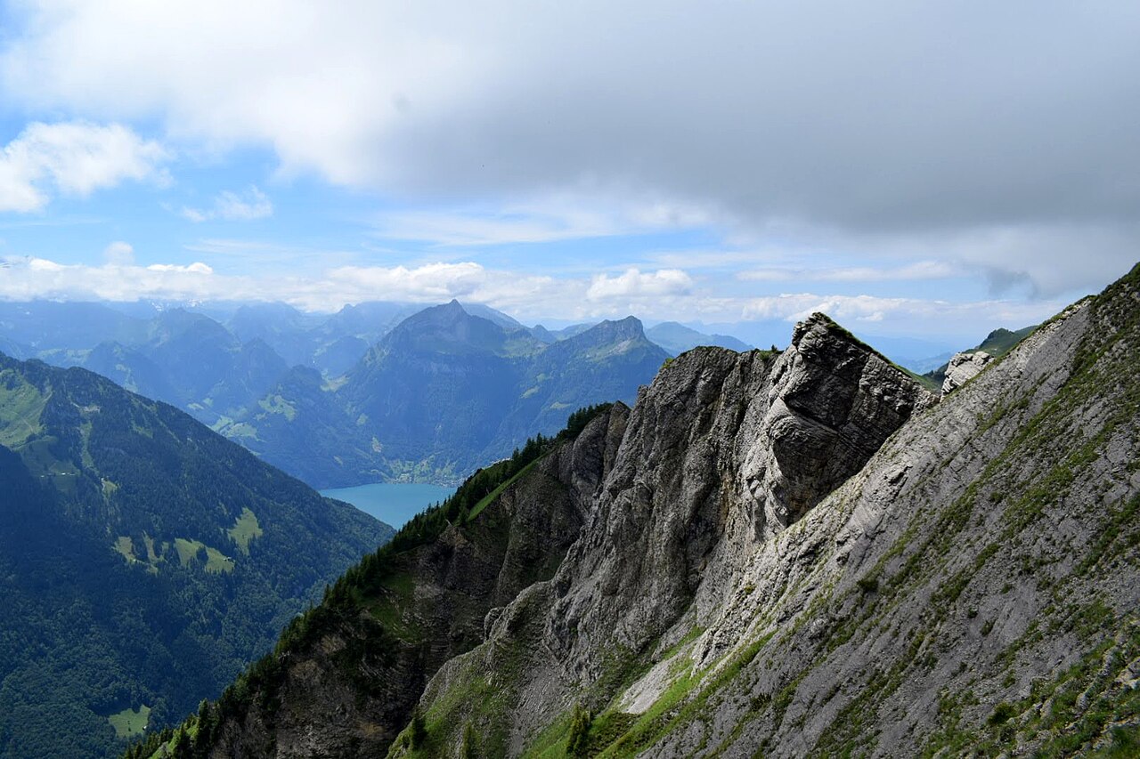
Stoos ridge landscape; archival reference, not current conditions · WillMatt4 · Photo source · CC BY-SA 4.0 Wikimedia thumbnail resize; no generative edits
4 km point-to-point, 380 m ascent/400 m descent, 1 h 50 min; allow 2.5–3 hours. Medium technical grade but exposed: sure-footedness and comfort with heights required. Prefer June–September; the published window extends into October subject to conditions. Reach Stoos, ascend by Klingenstock chairlift and descend at Fronalpstock, paying transport separately. Avoid wind and thunderstorms; unsuitable for small children.
Creux du Van cliff panorama; archival image does not confirm access; archival reference, not current conditions · Vijayaraj V R · Photo source · CC BY-SA 3.0 Wikimedia thumbnail resize; no generative edits
Noiraigue loop:15 km, 780 m ascent/descent,4 h 35 min; allow five–six hours. Technically easy but physically moderate, with hazardous cliff edges. Typical window May–October. On 18 October 2026 the official page explicitly flags a detour/closure on route 286. Future-planning reference only: do not follow it until access is confirmed; no invented diversion. Excluded from the itineraries below. Train to Noiraigue; no separate trail ticket.
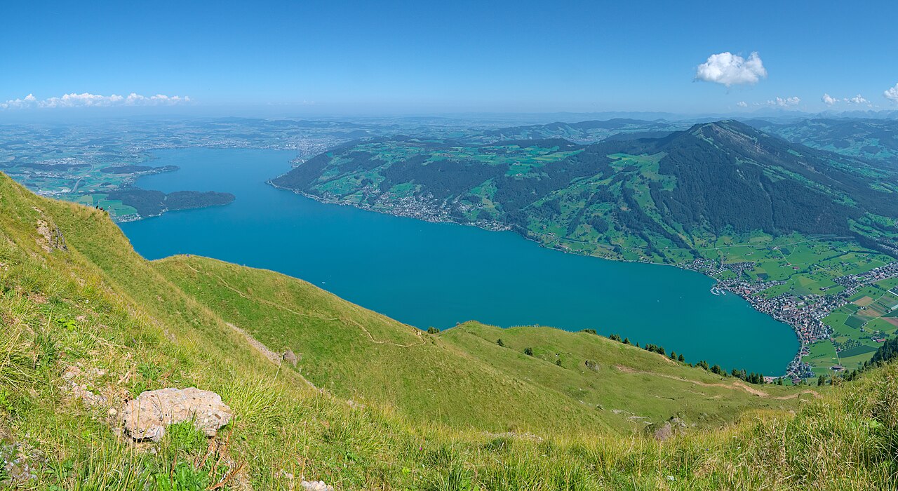
Lake Zug from high on Rigi; regional reference, not the described trail; archival reference, not current conditions · Daniel Kraft · Photo source · CC BY-SA 3.0 Wikimedia thumbnail resize; no generative edits
Trail-association/Rigi visitor-service route:6.9 km one way,245 m ascent/72 m descent,2 h 10 min; easy. Prefer snow-free May–October. Cogwheel train to Wölfertschen-First, then Scheidegg cable car via Kräbel to Goldau; transport costs extra. Measurements come from a 2019 route sheet; check Rigi’s current map for access. The final 300 m includes roughly 14% gradient, so do not assume independent wheelchair access.
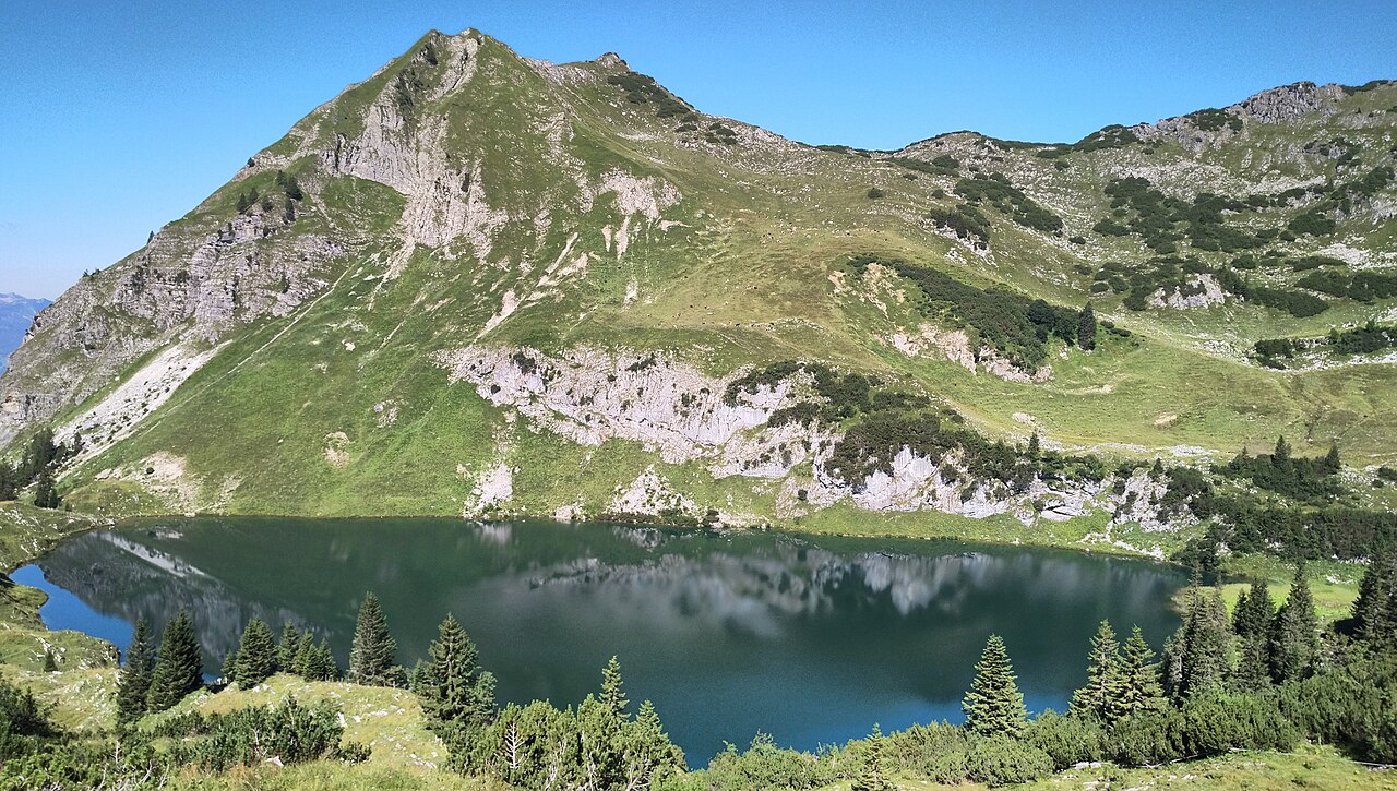
Seealpsee and surrounding peaks; archival reference, not current conditions · Harald Hetzner · Photo source · CC0 Wikimedia thumbnail resize; no generative edits
Wasserauen–Hüttentobel–Seealpsee circuit–steep road return:7.34 km loop,377 m cumulative ascent,2 h 30 min; allow three–four hours. Official T 2/easy mountain trail, not an accessible level walk. Prefer snow-free May–October. Train to Wasserauen; parking costs extra, without separate lakeside trail admission. Grippy footwear is essential on wet slopes; respect livestock and dog rules.
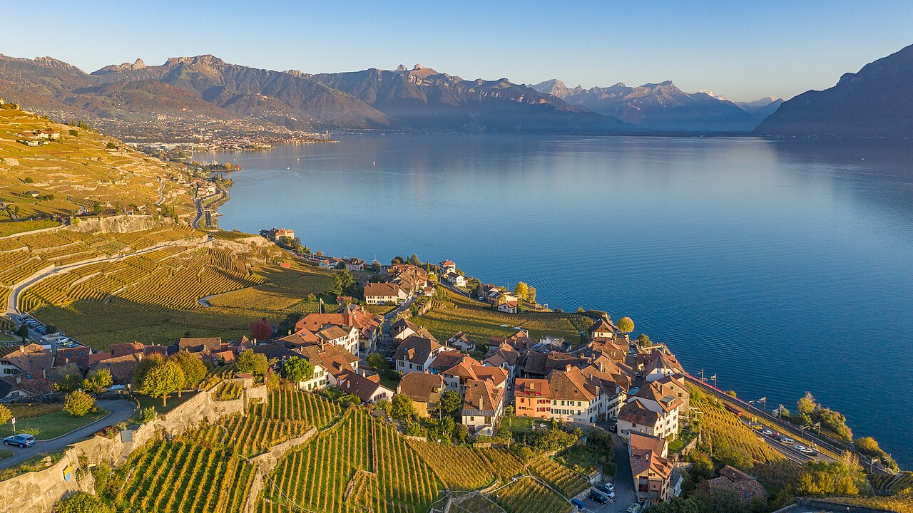
Lavaux vineyard terraces and Lake Geneva; archival reference, not current conditions · Lorenz Poffet · Photo source · CC BY-SA 4.0 Wikimedia thumbnail resize; no generative edits
Route 113 from St-Saphorin to Lutry:11 km one way,440 m cumulative ascent,3 h 15 min; allow four hours. Easy–moderate with repeated undulations, not a flat lakeshore walk. Prefer April–June or September–October; avoid midday summer heat. Rail at both ends; public-path access has no ticket. Winery tastings are separate and not part of this outdoor route. Stay out of private vine rows.
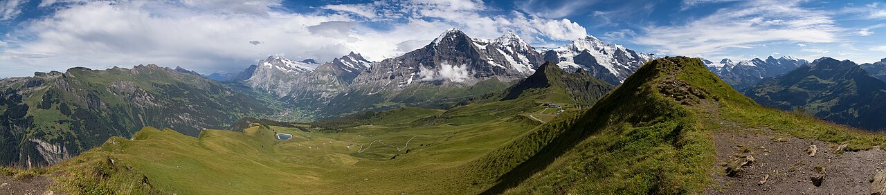
Bernese Oberland from Männlichen; nearby summit-view reference; archival reference, not current conditions · Ximonic (Simo Räsänen) · Photo source · CC BY-SA 3.0 Wikimedia thumbnail resize; no generative edits
One kilometre from the upper station to the summit,2 km return. Official map:120 m cumulative ascent/descent;25 min up and 15 down, allow one hour. Short and uphill, easy but still alpine. Prefer June–September; the operator’s May–October window depends on snow and lifts. Paid gondola from Grindelwald Terminal or cable car from Wengen; mountain access is not free and Royal Ride is not automatically included. Avoid fog, ice and strong winds.
Choose one region and suitable difficulty. Short paths can still be steep or exposed. Hiking is distinct from technical mountaineering; no glacier crossings are included.
When to go and what to pack
These are typical seasonal windows, not forecasts. Summer mountains can bring snow, thunderstorms and fog. Carry grippy shoes, insulating/rain layers, water, sun protection and offline maps. Start early with a turnaround time; lower altitude does not automatically make wet terrain safe.
Two complete itineraries
Choose one complete itinerary below. Suggested local times allow for meals and breaks; swap days around opening calendars and dated reservations.
Travel by rail from the airport via the appropriate hub to Interlaken Ost. Stay near the station for night one; take a short riverside walk and check mountain weather and First lift times.
Day 2 | Bachalpsee
Train to Grindelwald, walk or use the local bus to First gondola, then hike the 5.8 km lake return. Leave time for lunch and the last gondola; return by rail for night two in Interlaken.
Day 3 | Royal Walk and buffer
Train to Grindelwald Terminal and gondola to Männlichen for the 2 km Royal Walk. Descend and rest in the afternoon. Swap with day two if weather requires. Night three in Interlaken.
Day 4 | Depart
After breakfast check out and take the train to the airport or onward destination. Three nights total; do not add a last-minute mountain walk before a flight.
Deeper stay · 7 days / 6 nights
Day 1 | Arrive in Interlaken
Travel by rail from the airport via the appropriate hub to Interlaken Ost. Stay near the station for night one; take a short riverside walk and check mountain weather and First lift times.
Day 2 | Bachalpsee
Train to Grindelwald, walk or use the local bus to First gondola, then hike the 5.8 km lake return. Leave time for lunch and the last gondola; return by rail for night two in Interlaken.
Day 3 | Royal Walk and buffer
Train to Grindelwald Terminal and gondola to Männlichen for the 2 km Royal Walk. Descend and rest in the afternoon. Swap with day two if weather requires. Night three in Interlaken.
Day 4 | Eiger Trail
If weather and access permit, take Eiger Express via Grindelwald Terminal to Eigergletscher, hike 6.1 km to Alpiglen and return by rail. Poles can help with the long descent. Night four in Interlaken.
Day 5 | Lakeside rest
Local bus to Bönigen for a gentle lakeside stroll and lunch, without another mountain. This buffer day can swap with day four. Night five in Interlaken.
Day 6 | Schynige Platte short loop
Train to Wilderswil and seasonal cogwheel railway uphill. Walk the 3.06 km Oberberghorn loop; use a valley rest day if conditions are poor rather than exposed sections. Check the last train. Night six in Interlaken.
Day 7 | Departure
Check out and depart by rail after six nights at one base. Zermatt, Stoos, Appenzell, Rigi and Lavaux belong to separate trips, not this seven-day itinerary.
Getting around and where to stay
Stay near Interlaken Ost for both itineraries. Grindelwald is closer to First but adds travel to other mountains. Trains, gondolas and chairlifts charge fares; ordinary public paths have no separate hiking ticket. Route descriptions are not live access guarantees. Creux du Van explicitly carries a detour/closure alert checked 18 October 2026; recheck other operators and local notices before departure. No car rental is needed for the seven-day version.
Optional travel tools
Independent hiking is the focus. A complete comparable Viator product/recent-review dataset was unavailable, so no invented ratings or low-price package is listed. Ask established local operators for a guide quote if needed.
A–D practical notes
A | Families: shorten Royal Walk or Bachalpsee to children’s ability; exposed Stoos ridge is not a small-child recommendation.
B | Partners: retain weather buffers and agree turnaround times; never cross barriers for photos.
C | Pets: check each transport operator and protected-area dog rule, leash near livestock and keep away from cattle; not every trail suits dogs.
D · Separate per-person budgets
Every figure below is a per-person, full-trip USD planning allowance, not a live quote. Room costs assume equal sharing with one companion; solo travellers replace that share with their full room cost. Shared transport uses the same split where stated; per-person tickets and experiences are not divided again. International flights, visas, insurance and shopping are excluded. Replace with tax-inclusive quotes and deduct meals/admission already included in an experience. CAD uses an illustrative 1 USD = 1.40 CAD, not a live exchange rate. The PDF contains static examples; the two website calculators can be edited independently.
Short stay · 4 days / 3 nights
Static per-person example USD 910/CAD 1274 at illustrative 1 USD=1.40 CAD. Lodging personal share 120/night×3 assuming two share; food 200; rail and two mountain-lift outings 250; reserve 100. Not live quotes; no assumed pass discount. International flights, insurance and equipment excluded.
Per-person allowance
USD
CAD × 1.40
Accommodation
360.00
504.00
Meals
200.00
280.00
Local transport / transfers
250.00
350.00
Selected experience allowance
0.00
0.00
Other admission / extras
0.00
0.00
Reserve
100.00
140.00
Total per person
910.00
1,274.00
Deeper stay · 7 days / 6 nights
Static per-person example USD 1650/CAD 2310 at illustrative rate 1.40. Lodging personal share 120×6 nights assuming two share; food 350; rail, Eiger Express, First, Männlichen and Schynige Platte transport allowance 420; reserve 160. Compare pass coverage against your exact dates; no single-pass-all-inclusive promise. Flights, insurance and equipment excluded.
Per-person allowance
USD
CAD × 1.40
Accommodation
720.00
1,008.00
Meals
350.00
490.00
Local transport / transfers
420.00
588.00
Selected experience allowance
0.00
0.00
Other admission / extras
0.00
0.00
Reserve
160.00
224.00
Total per person
1,650.00
2,310.00
For a lower-cost trip, choose the independent route and remove the optional guided-experience allowance. For extra comfort, raise the room or transfer allowance. Choose the short OR long budget; do not add both totals.
Before departure
Canada’s Switzerland advisory checked 18 October 2026 says take normal security precautions. Mountain weather, rockfall and exposed paths still require care. Use open marked trails and never bypass closures. Plan Creux du Van only after official access confirmation.
Check opening calendars, strikes or closures, and dated ticket inventory again shortly before travelling. This evergreen route makes no claim that a future festival is scheduled or on sale.
READER OFFER · 10% OFF
Saily travel eSIM · 10% off
Stay connected for maps, transport and travel plans. Compare coverage, data allowance, validity, activation rules and unlocked-device compatibility before buying.
This link includes the coupon for automatic application. If it is not shown at checkout, enter HAPPYTOGETHER manually.
Applies to new purchases across all Saily plans and destinations. No expiry date has been set. Combining this code with other promotions has not been confirmed; check the discount and final total at checkout.
Affiliate disclosure: Happy Together Trips may earn a commission on eligible purchases through this link, at no extra cost to you.
Selection evidence and sources
Editorial selection, not a most-popular ranking. Compare Kraig Adams’ multi-day Grindelwald footage with Aplins in the Alps’ shorter Jungfrau options; the latter’s companion article was updated 17 August 2026. Original YouTube watch pages were restricted, so current views/likes/comments and Instagram metrics could not be fully verified. Older footage is not real-time trend evidence.
Research checked 18 October 2026. YouTube figures below are search-index snapshots, not live counters; publication dates and missing fields are shown as available. Videos were not copied or treated as a platform ranking. Instagram access and any missing or conflicting fields are described beside each source; unavailable metrics are excluded from quantitative comparisons. Only accessible public metadata was reviewed, not entire video content. Sources have different periods and measures; they are not a cross-city league table.
Aplins in the Alps Creator companion page updated 2026-08-17; this is not a confirmed video upload date. Watch metrics unavailable, checked 2026-10-18.