
Vancouver
Mid-September–early November; start by comparing October dates
Official seasonal guideVancouver, Toronto and Montréal: 3 city spots + 9 nearby parks within roughly 5 hours each, with drives, dog rules, family tips and typical peak windows.
Choose a cityDownload printable PDF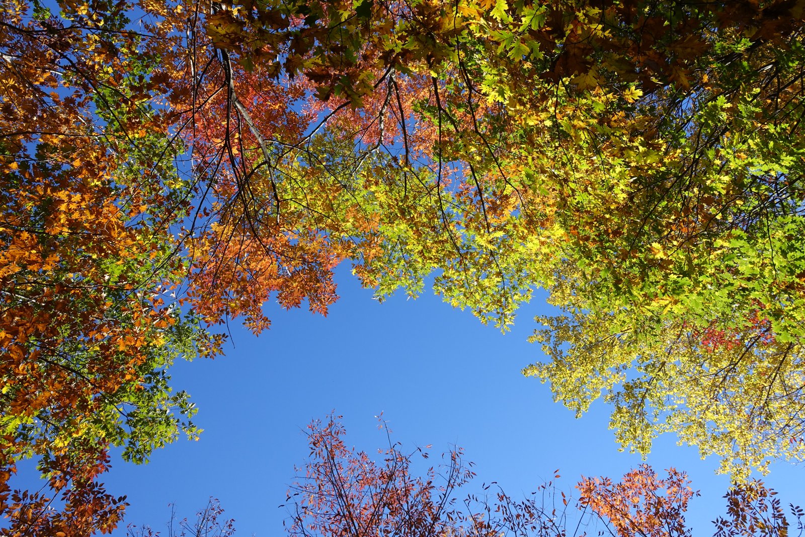
THE PHOTO JOURNAL
Autumn photographs from earlier years; current colours and peak dates depend on the weather.
Swipe to browse · Tap a photo to enlarge
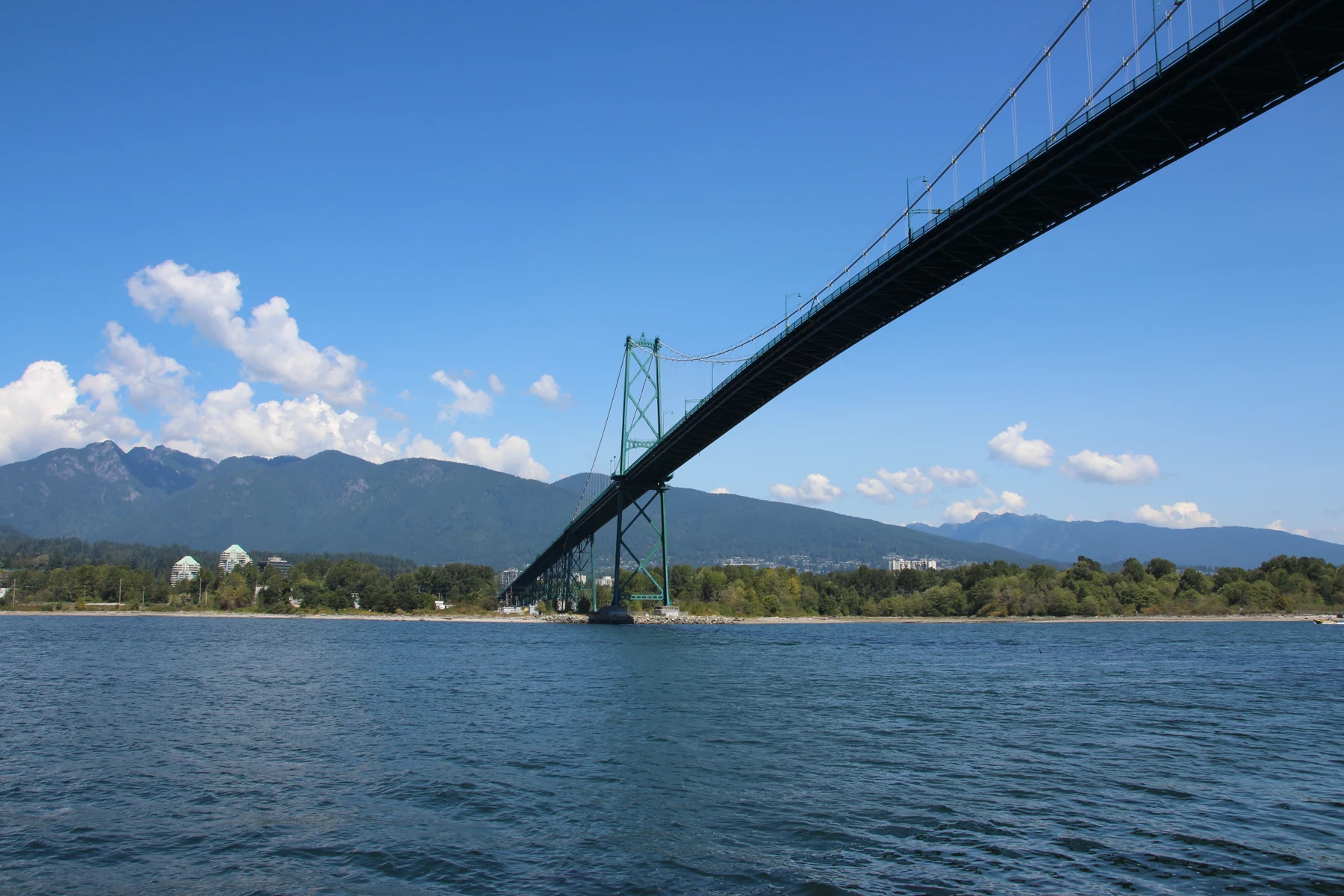
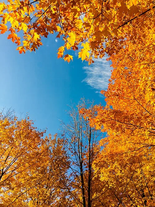
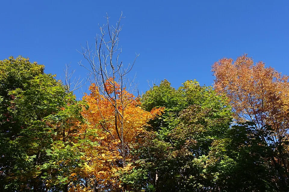
Images resized and compressed; previews may be cropped. Each image retains its linked licence.
“Popular” means representative places featured by tourism and park authorities, not a visitor-count ranking. These are planning windows, not predicted 2026 peak dates. Autumn colours include yellow and orange foliage, not only red maples.
Mid-September–early November; start by comparing October dates
Official seasonal guideCity foliage typically mid–late October; northern outings can be earlier
Official seasonal guideStart with an October plan; adjust using Québec’s foliage map
Official seasonal guideAlgonquin’s sugar maples typically colour earlier than Toronto’s city parks. Treat the hills north of Montréal separately from the city. Check fresh reports two or three days before leaving, then review weather and trail notices.
Ontario Parks · colour report · Bonjour Québec · foliage mapDriving times are rough one-way, off-peak estimates from each city centre, excluding parking queues. Weekend, bridge and foliage-season congestion can add substantially. Peak windows are editorial regional estimates, not measured park-specific forecasts. Family ratings guide route choice and do not imply stroller access throughout. The nearby selection now extends to roughly five hours one way from each city centre in normal traffic. These are planning estimates, not live navigation times; traffic or snow can push the journey beyond five hours. Longer drives work better with an overnight stay. Three additions checked September 29, 2026.
36 places
Drive:10–20 min
Peak window:Mid–late October
Dogs:Yes, leashed except designated areas
Families:High: choose a short lakeside section
Highlights:Lost Lagoon reflections and seawall foliage
Official place guideDrive:15–30 min
Peak window:Mid–late October
Dogs:Yes, leashed; check conservatory separately
Families:High: choose around slopes and steps
Highlights:Garden foliage and city skyline
Official place guideDrive:15–30 min
Peak window:Mid–late October
Dogs:Yes, leashed outside designated dog areas
Families:High: short lakeside strolls
Highlights:Lake, coloured canopy and lawns
Official place guideDrive:30–50 min
Peak window:Mid–late October
Dogs:Yes, leashed on park paths; avoid restricted areas
Families:High: short walks and picnics
Highlights:Lake reflections and deciduous trees
Official park guide · Dog access rulesDrive:30–55 min
Peak window:Mid–late October
Dogs:Keep leashed and follow restricted-area signs
Families:Moderate–high: summit park easier, hillside trails steep
Highlights:Summit foliage and Burrard Inlet views
Official park guide · Dog access rulesDrive:75–110 min
Peak window:Mid–late October
Dogs:Conditional: keep leashed in permitted day-use areas; beach/building restrictions apply
Families:Moderate–high: shorter lake walks are easier; mountain routes are not for every family
Highlights:Lake, waterfalls and forest; many evergreens, not an all-red maple landscape
Official park guide · Dog access rulesDrive:25–45 min
Peak window:Mid–late October; adjust to current colours
Dogs:Yes; follow leash signs and dog-free areas
Families:Moderate–high: short walks above the dam are easier; canyon trails have stairs
Highlights:Dam, canyon and yellow foliage among evergreens; separate from the commercial suspension-bridge park
Official park guide · Dog access rulesDrive:30–55 min
Peak window:Mid–late October; adjust to current colours
Dogs:Yes; leash required north of Twin Falls Bridge; keep dogs out of creeks
Families:Moderate: suspension bridge, stairs and slippery surfaces require close supervision
Highlights:Suspension bridge and canyon forest with yellow accents in evergreen rainforest; stay out of the water
Official park guide · Dog access rulesDrive:50–80 min
Peak window:Mid–late October; adjust to current colours
Dogs:Yes, leashed; no dogs inside the lodge
Families:Moderate: lower routes are easier; High Knoll involves climbing and exposed rock
Highlights:Marsh colours and High Knoll views; check road detours and trail notices
Official park guide · Dog access rulesDrive:55–90 min
Peak window:Mid–late October; adjust to current colours
Dogs:Yes; leash outside designated off-leash areas and yield to horses
Families:High: relaxed walks around Little River; shorten with an out-and-back
Highlights:Meadows, streams and golden woodland for a family picnic and walk
Official park guide · Dog access rulesDrive:20–40 min
Peak window:Mid–late October; adjust to current colours
Dogs:Zoned access: leashed, leash-optional and dog-free trails; follow entrance signs
Families:High on short inland loops; beach access involves long, steep stairs
Highlights:Near-city woodland foliage outside Vancouver city limits in the university lands; largely evergreen
Official park guide · Dog access rulesDrive: About 3–3.5 hours to Lightning Lake
Peak window: Late September–early October; alpine larches often turn early, not a red-maple landscape
Dogs: Leashed dogs in permitted areas; most beaches and buildings exclude pets. Follow signs
Families: Short lakeside walks suit families; full lake loop is about 9 km and can be shortened. Frosty Mountain is a strenuous mountain hike, not an easy outing for small children
Highlights: Lake reflections and autumn forest; golden larches high on Frosty require a separate hike and are not visible simply by walking at the lake
Planning: Consider one overnight stay. Early snow is possible; check BC Parks and road conditions. Avoid combining a strenuous alpine hike with the long return drive
Official park and pet rules · Drive and lakeside routeDrive:20–40 min
Peak window:Mid–late October
Dogs:Yes, leashed outside designated dog areas
Families:High: short routes; not all woodland paths suit strollers
Highlights:Grenadier Pond and woodland colours
Official place guideDrive:15–30 min
Peak window:Mid–late October
Dogs:Yes, leashed; check indoor areas separately
Families:High: choose short valley routes; assess slopes
Highlights:Ravine canopy and brickworks surroundings
Official place guideDrive:35–65 min
Peak window:Mid–late October
Dogs:Yes, leashed or physically controlled
Families:Moderate–high: choose a short trail; not all are stroller-friendly
Highlights:Woodland, river valleys and wetland foliage
Official place guideDrive:75–110 min
Peak window:Early–mid October
Dogs:Yes, leashed outside prohibited areas
Families:Moderate: steps and rocky paths; not a full stroller route
Highlights:Cliffs, woodland trails and autumn lookouts
Official park guide · Dog access rulesDrive:60–90 min
Peak window:Early–mid October
Dogs:Yes, leashed; obey local restrictions
Families:Moderate: rolling terrain; choose a short route
Highlights:Credit River valley and wooded hills
Official park guide · Dog access rulesDrive:50–85 min
Peak window:Around mid–late October
Dogs:Yes, on a leash no longer than 2 m and under control
Families:Moderate: supervise children near cliffs; choose short routes over the long canyon traverse
Highlights:Niagara Escarpment lookouts and canyon foliage
Official park guide · Dog access rulesDrive:55–85 min
Peak window:Mid–late October; higher ground may turn earlier
Dogs:Yes, leashed throughout; respect dog-free and sensitive areas
Families:High: short lakeside boardwalk and cultural learning; other trails have hills
Highlights:Lake reflections, boardwalk and the longhouse village; check facility hours
Official park guide · Dog access rulesDrive:55–90 min
Peak window:Mid–late October; higher ground may turn earlier
Dogs:Yes, leashed throughout; respect dog-free and sensitive areas
Families:Moderate: uneven trails and cliffs; not a stroller itinerary
Highlights:Escarpment lookouts over colourful valleys; clearest views in fair weather
Official park guide · Dog access rulesDrive:55–85 min
Peak window:Mid–late October; higher ground may turn earlier
Dogs:Yes, leashed throughout; respect dog-free and sensitive areas
Families:Moderate–high: best for children able to walk several kilometres; stairs near falls
Highlights:Waterfall, yellow woodland and mill ruins; water flow varies with weather
Official park guide · Dog access rulesDrive:70–105 min
Peak window:Mid–late October; higher ground may turn earlier
Dogs:Yes, leashed throughout; yield to horses
Families:High on short routes near the Trail Centre; Main Loop is rolling
Highlights:Deciduous forest, valley trails and heritage buildings for a relaxed autumn visit
Official park guide · Dog access rulesDrive:70–105 min
Peak window:Mid–late October; higher ground may turn earlier
Dogs:Yes, leashed throughout and well back from cliff edges
Families:Moderate: children should be comfortable with hills; close supervision near cliffs
Highlights:Dundas Peak valley colours and Tew Falls; check fall reservations; Webster Falls has separate access
Official park guide · Dog access rulesDrive: About 3–3.5 hours to West Gate; allow roughly 3.5–4.5 hours to main stops farther along the corridor, plus congestion
Peak window: Sugar maples: plan around late September–early October; later yellow foliage may last into mid-October. Check the current report
Dogs: Leash dogs on permitted trails; beaches, buildings and pet-free areas are excluded. Check your specific route
Families: Moderate to high: choose lakeside stops and short walks matched to ability. Lookout paths can have slopes and roots; stroller access is not assumed
Highlights: Highway 60 forest colour, lake reflections and elevated views; an iconic Ontario fall destination, not a two-hour Toronto outing
Planning: Consider one overnight stay. Reserve the Hwy 60 vehicle permit, normally from 7 am five days ahead. Booth’s Rock needs the appropriate fall permit. In 2026, Hardwood Lookout closes October 2–4 and 9–12; recheck before travel
Official park guide · Fall permits and closures · Pet rulesDrive:10–25 min
Peak window:Early–mid to mid–late October; check the year
Dogs:Yes, leashed; follow signs
Families:Moderate–high: lake walks easier than the climb
Highlights:Beaver Lake reflections and Kondiaronk views
Official place guideDrive:10–25 min
Peak window:Around mid-October
Dogs:Yes, leashed outside designated dog areas
Families:High: short lake walks and picnics
Highlights:Lakeside colours and the Plateau neighbourhood
Official place guideDrive:15–30 min
Peak window:Around mid-October
Dogs:Yes, leashed; facilities may restrict access
Families:High: choose open, gentler island paths
Highlights:River, island foliage and city backdrop
Official place guideDrive:30–50 min
Peak window:Early–mid October
Dogs:Conditional: designated trails including Le Seigneurial, Le Petit-Duc and Le Grand-Duc
Families:High: choose shorter lakeside paths; check the map
Highlights:Lake reflections and colourful forest
Official park guide · Dog access rulesDrive:45–75 min
Peak window:Early–mid October
Dogs:Conditional: designated areas and trails such as Le Calvaire d’Oka
Families:Moderate–high: lookout route climbs; choose sections for children
Highlights:Calvaire lookout, lake views and woodland colours
Official park guide · Dog access rulesDrive:120–160 min
Peak window:Late September–early October; follow colour reports
Dogs:Conditional: designated routes such as La Roche and La Corniche; check permitted opening periods
Families:Moderate: lookout trails climb; suited to children comfortable with hills, not a stroller plan
Highlights:Lac Monroe valley and wooded mountain views; this is the national park, not the resort gondola
Official park guide · Dog access rulesDrive:95–130 min
Peak window:Late September–mid-October; higher elevations often turn earlier
Dogs:Conditional: designated trails such as L’Étang-Fer-de-Lance only; check permitted season
Families:Moderate–high: easier lakeside walks; summit hikes require stamina
Highlights:Sugar maples, lakes and Eastern Townships hills; national-park access differs from the ski-resort gondola
Official park guide · Dog access rulesDrive:75–105 min
Peak window:Early–mid October
Dogs:Conditional: leashed in designated areas such as La Forestière and La Rivière; check dates
Families:High: short walks near the reservoir; shorten longer loops to suit your group
Highlights:Choinière reservoir, wooded shoreline reflections and gentle autumn walks
Official park guide · Dog access rulesDrive:40–65 min
Peak window:Early–mid October
Dogs:Pet dogs not allowed; qualified guide/service dogs follow official requirements
Families:Moderate: lake area is easier than summits; lookouts involve climbing; book admission first
Highlights:Lac Hertel and panoramic wooded summits within a nature reserve
Official park guide · Dog access rulesDrive:80–110 min
Peak window:Late September–mid-October; higher elevations often turn earlier
Dogs:Yes, on leash throughout; respect area signs
Families:Moderate–high: choose short forest paths; summit trails are steeper
Highlights:Laurentian woodland and hilltop views, paired with a visit to Val-David village
Official park guide · Dog access rulesDrive:110–145 min
Peak window:Late September–mid-October; higher elevations often turn earlier
Dogs:Conditional: leash on permitted paths; no dogs on Round Top or Montagnes-Vertes reserve trails
Families:Moderate: best for families used to hill walking; choose short routes, not stroller summit walks
Highlights:Eastern Townships foliage, mountain lakes and viewpoints; check parking and trail conditions
Official park guide · Dog access rulesDrive: About 2.5–3 hours to a main entrance; allow additional time for the parkway
Peak window: Late September–early October is a planning window; lower areas may retain colour into mid-October. Check current foliage
Dogs: Strict limits: leashed pets only in designated developed campgrounds and Parkway rest/picnic areas; no pets on trails, beaches, boats or in public buildings
Families: High: families without dogs can choose suitable short trails. With dogs, use permitted roadside stops only, not hiking trails
Highlights: Winding scenic drive, lakes and broad forested hills in autumn colour; suited to road touring and photography
Planning: Possible as a long day trip; one overnight stay is more relaxed. In 2026, the full Parkway is scheduled through October 12; only km 0–8 from October 13–25, then km 0–6. Check current notices
Official park guide · Pet restrictions · 2026 road opening datesALGONQUIN + MUSKOKA
Addition checked October 11, 2026. The first four trails are inside Algonquin; the other five stops are outside and are not covered by an Algonquin permit. Distances follow official route information; times are editorial estimates allowing light breaks. Mud, photos and children can add time. This is not a live opening guarantee.
Moderate loop; allow an estimated 45–60 minutes.
Highway 60 km 13.8, overlooking Smoke Lake. Scheduled 2026 closures: September 11–13, 18–20, 25–27 and October 2–4, 9–12. Choose another open trail on those dates and check alerts for later visits.
Moderate; short but steep and rugged. Allow an estimated 1–1.5 hours.
Highway 60 km 39.7, for an elevated forest panorama. This is not Hardwood Lookout: use the correct entrance and closure notice.
Moderate shoreline loop; allow an estimated 1–1.5 hours.
Highway 60 km 19.2, for lake views, woodland and reflections. Roots and uneven ground mean it should not be treated as a paved stroller route.
A more demanding loop; allow about three hours plus photo and rest stops.
Turn south from Highway 60 km 40.3 and continue about 9 km on Rock Lake Road. Lakes, a rock lookout and an old railway alignment make this a main hike for the day.
Moderate loop; allow an estimated 1–1.5 hours.
At 1057 Milford Bay Road in the Muskoka Lakes area, with exposed rock and distant Lake Muskoka views. Rock can be slippery after rain; check sunset before setting out.
Length listed in the municipal trail plan; slopes involved. Allow an estimated 45–60 minutes.
Views over Huntsville, the Muskoka River and Fairy Lake. A short arrival or departure stop outside Algonquin; vehicle gates may close seasonally, so check town notices.
Moderate to difficult; estimated 1–1.5 hours for the short route or 3–4 hours for the longer one.
Near Torrance along Muskoka Road 169, useful for a Gravenhurst-side extension, not part of Algonquin. Choose the 3 km or 8 km route and download its map; do not stack the long option with Booth’s Rock.
Officially moderate, with some steeper climbs. The listed 2.5 km is not explicitly a return distance: plan the return from the trail map.
Access from Hazelwood Road, Port Carling. Woodland and a beaver pond suit a separate Muskoka half-day rather than an overloaded Toronto departure day.
A lakeside break, not a hiking route with a stated distance.
Use the spelling Lake Rosseau. Rosseau Waterfront Park at 2 Jim Swift Drive provides a public stop; check seasonal facilities and avoid private docks or shorefront property. Pair with Hazelwood / Port Carling on a separate half- or full-day.
Ontario Parks specifies a Booth’s Rock Trail + Hwy 60 daily vehicle permit for September 12–October 18, 2026; the regular Hwy 60 option excludes that trail. Valid campers may access it subject to parking capacity. The specified 2026 Hardwood Lookout closure dates should not be confused with Lookout Trail.
Ontario Parks · Autumn 2026 rules · Official reservations
Gentler combination: stop at Lions Lookout when arriving in Huntsville; make Peck Lake the next day’s main walk, adding Lookout only if ability, permit and time allow. For a bigger viewpoint hike, give Booth’s Rock its own half-day and rest afterward rather than squeezing all four park trails into one day.
For a southern extension, choose Huckleberry Rock or Hardy Lake. Give the 8 km Hardy Lake option its own half-day. A Toronto–Algonquin return drive makes a long day: reduce stops or stay overnight.
Suggested order: Lions Lookout in Huntsville → Huckleberry Rock Lookout Trail → Hardy Lake (optional 3 km route) → Gravenhurst → Toronto. Visit Lions Lookout in the morning, then hike Huckleberry. After lunch, add Hardy Lake only if weather, energy and daylight allow. Skip it if time is tight; reserve a separate half-day for the 8 km route.
A supplied route snapshot shows one Lions Lookout–Huckleberry driving option at 44 km / 42 minutes. This is a snapshot estimate, not independently verified live traffic, and excludes walking, parking and breaks. The link below recalculates the waypoints and may use different roads.
Open optional return-day directions (remove stops as needed)
A · Choose for the least confident walker; stay behind barriers and avoid slippery rock viewpoints. B · A short trail is not necessarily flat or stroller accessible. C · Check current pet rules for each route, leash dogs where allowed and remove waste. D · Keep costs per person: use your actual share of vehicle permits, fuel and parking, and check separate local charges outside the park; no combined pass or fixed price is assumed.
Colour and access change. Snow and ice invalidate autumn time estimates. Carry an offline map, water and grippy footwear, finish before dark and follow current alerts and closures.
Algonquin · Alerts · Hardy Lake · Alerts · Huntsville · Seasonal access context (check the current year)
Spend the morning around Lost Lagoon and a nearby seawall section. After lunch, rest or add Queen Elizabeth Park if energy allows. One park is enough with children.
Choose High Park, Don Valley or Rouge. Walk in the morning, then add a short afternoon section if conditions suit. Avoid combining east-end Rouge with west-end High Park.
Visit Mount Royal’s lake and lookout areas, then eat in the Plateau. Choose Parc La Fontaine instead if you prefer to avoid a hilly route.
For a separate woodland day trip, consider Mono Cliffs and start checking colour reports in early–mid October. An advance daily vehicle permit is required; sold-out capacity means no entry. Do not combine it with Algonquin in one day or treat Algonquin as an easy outing within two hours of Toronto.
Official Mono Cliffs trip planning · Algonquin colour report| Expense | What to compare |
|---|---|
| Parks & activities | Separate ordinary park walks from permits, conservatories and paid activities. |
| Transport & parking | Compare personal transit costs with your share of car hire, fuel and parking. |
| Meals & accommodation | Pack lunch for a day trip; overnight quotes should include taxes and pet fees. |
You need not hire a car just for city foliage walks. Compare car hire for outings such as Mono Cliffs; confirm pet and cleaning policies with the actual rental company.
Compare car hire · affiliate linkAffiliate links: Happy Together may earn a commission if you book through these links, at no extra cost to you.
Optional city tours or day trips, not a promise of access to the listed parks or peak foliage. Check the itinerary, walking demands, child and pet policies.
These links open activity lists, not confirmed bookings. Availability and terms are set by each provider.
Your choice stays in this browser. Anonymous interaction events may be included in site analytics; no public like count is shown.